2024-01-21 04:05:36
Ram Temple is set for a grand consecration ceremony tomorrow
New Delhi:
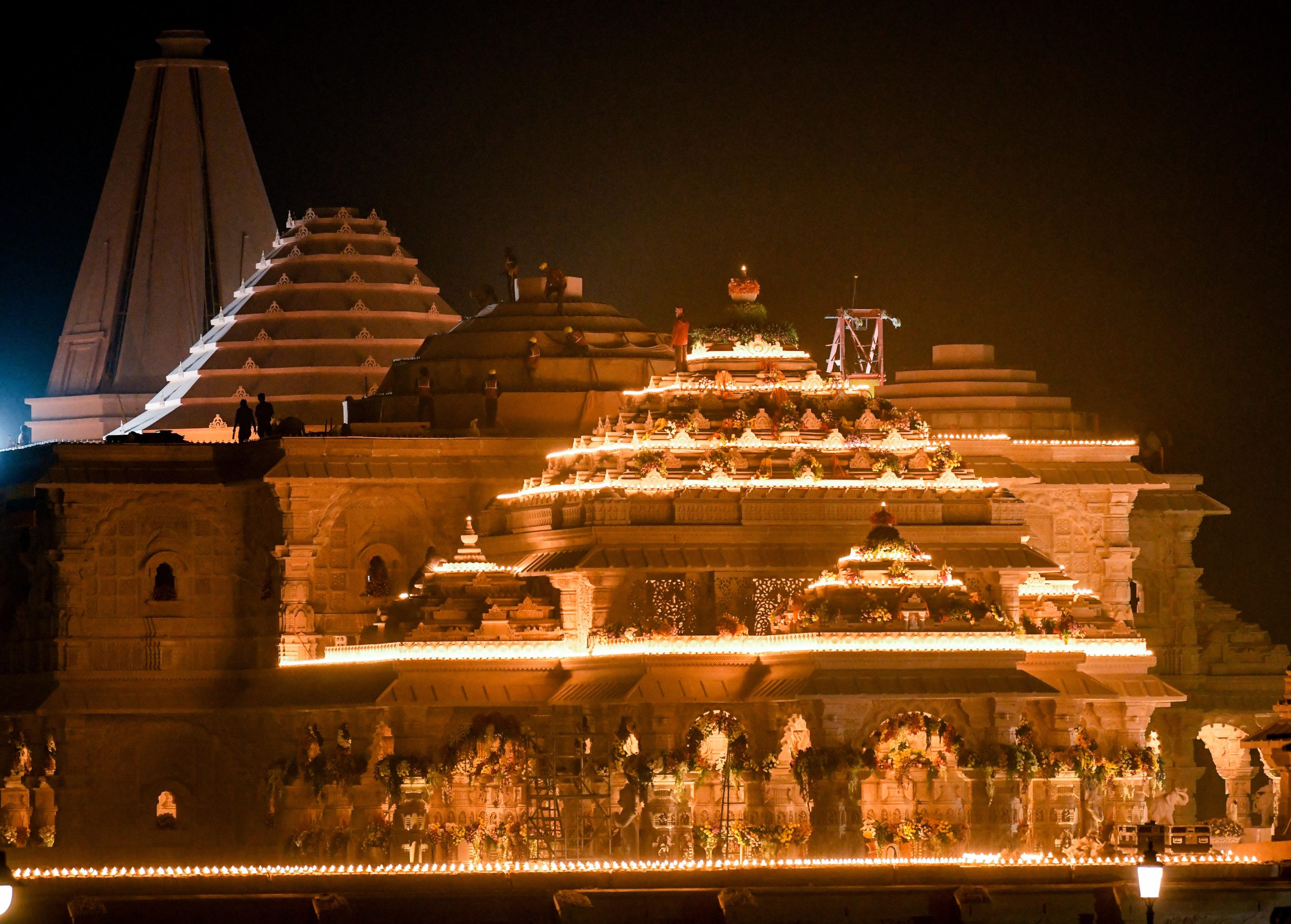
Ahead of the grand consecration ceremony at Ayodhya, the Indian Space Research Organisation (ISRO) has given the country the first ‘darshan’ or glimpse of the magnificent Ram Temple as seen from space using our own indigenous satellites.
The 2.7-acre Ram Temple site can be seen and an enlarged view of the same is also provided using the Indian Remote Sensing series of satellites. The under construction temple was captured on December 16 last year, just about a month ago. Since then, dense fog over Ayodhya has made it difficult to get a clear view.

In the satellite images, Dashrath Mahal and Sarayu River are clearly seen. The newly renovated Ayodhya railway station is also visible.

India currently has over 50 satellites in space, and some of them have a resolution of less than a metre. The image has been processed by the National Remote Sensing Centre in Hyderabad, a part of the Indian space agency.

ISRO technologies have also been used at other stages of the temple’s construction. A big challenge in the grand project was to identify the exact location to place the idol of Lord Ram. The trust entrusted with building the temple wanted the idol to be placed in a 3 feet X 6 feet space where Lord Ram is believed to have been born.
Alok Sharma, International working President of Vishwa Hindu Parishad, is closely involved with the Ram Temple project. He told NDTV that following the demolition of Babri Masjid in 1992, 40 feet of debris covered the spot where Lord Ram is believed to have been born. This debris had to be removed and the location secured so that the new idol is exactly and precisely at that spot.
This was easier said than done because construction of the temple began nearly three decades after the demolition. Then, space technology came to the rescue.
To identify the exact spot, contractors for construction firm Larsen & Toubro used the most sophisticated Differential Global Positioning System (GPS)-based co-ordinates. The co-ordinates, precise to nearly 1-3 centimetres, were drawn up. They formed the basis for the placement of the statue in the temple’s garba griha or sanctum sanctorum.
The precision equipment used in these geographical instruments also incorporates precise location signals from India’s own ‘swadeshi GPS’ — the ISRO-made ‘Navigation with Indian Constellation’ or the NavIC satellite constellation.
ISRO chairman S Somanath told NDTV that five satellites of the NAvIC constellation are working, and the system is currently set for an upgrade.
Ayodhya Ram temple,ISRO,Ayodhya Ram Temple Consecration Ceremony,Pran Pratishta ceremony,Pran Pratistha of Ram Lalla
Source link
![]()